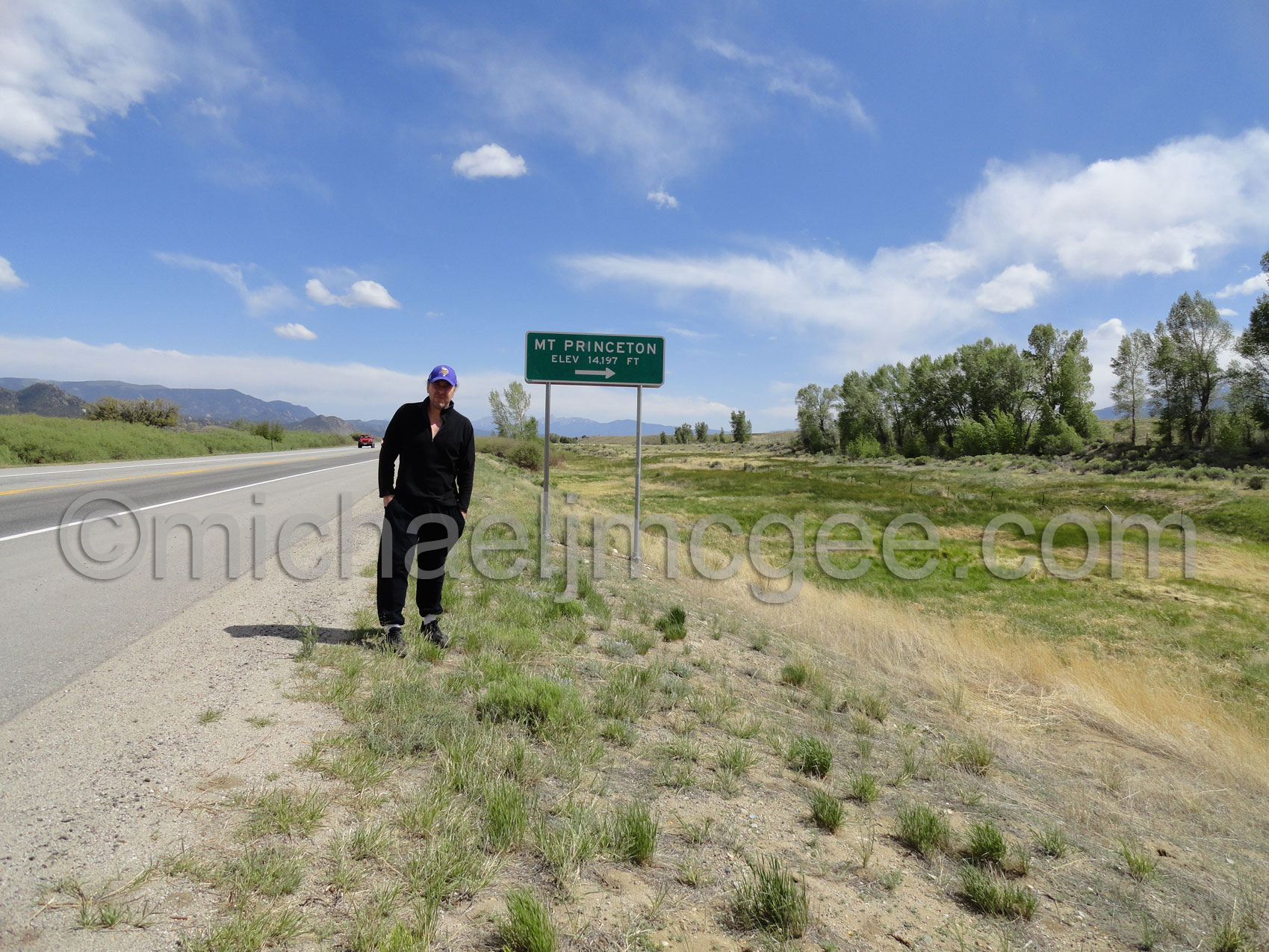
Mt Princeton 14,197 40th highest of Colorado's 53 14ers
I started this route at 5 am and was back at my truck at 12 pm. Easy going up the Mt. Princeton Road. Finding the trail on the right and then hiking up to the east ridge of Mt Princeton with a bit of boulder hopping and then finally gaining the mile long ridge. Winds were very strong this Memorial Day 2012 but I persevered the winds and really hard to follow trail in many spots to and past the one false summit to the true summit. Per usual the first one up. I hung out for less than half my usual time because of very strong winds (40-50 mph sustained?) My advice: stay on the ridge coming down and then to the trail! I though this was a pretty tough hike... you be the judge.
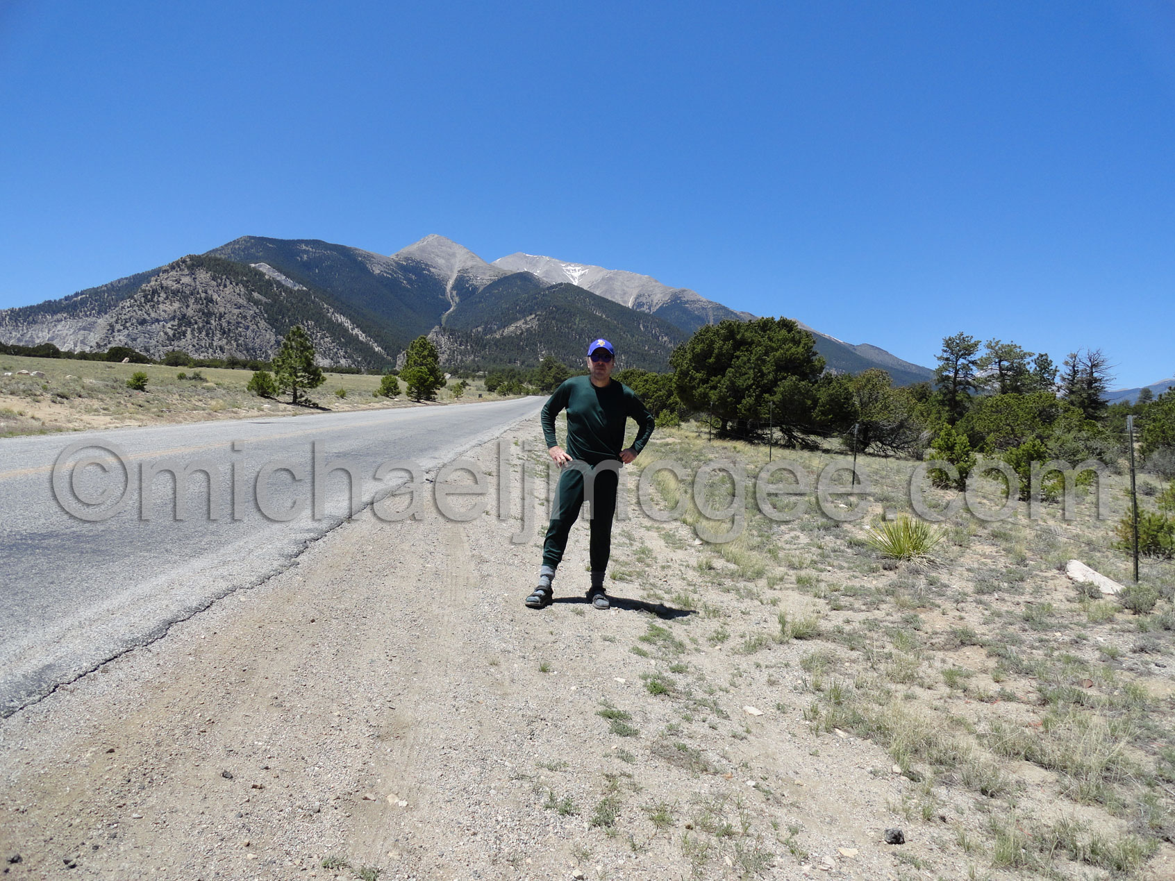
Here we go! MJM on US 24 just south of Buena Vista, Colorado.
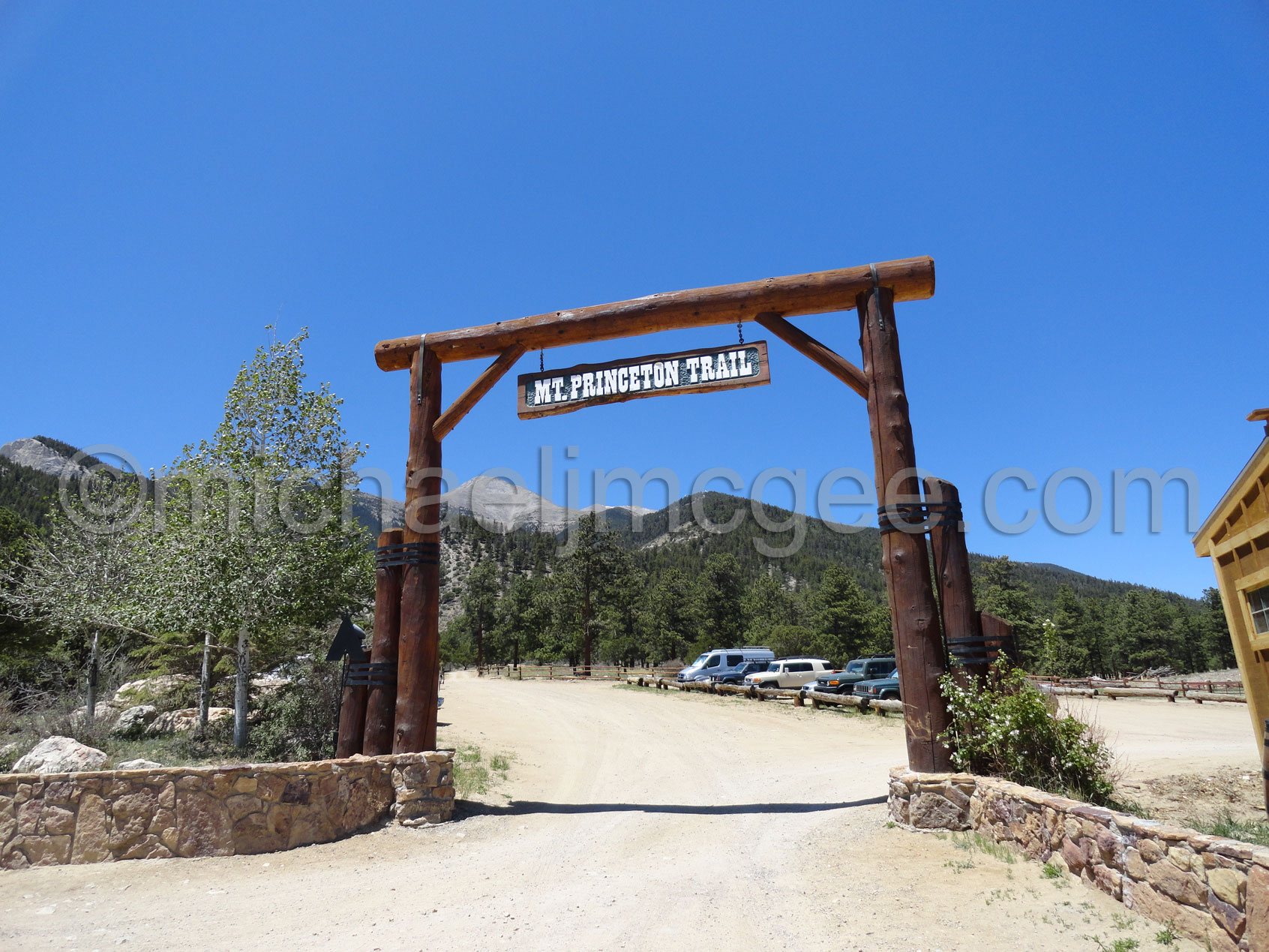
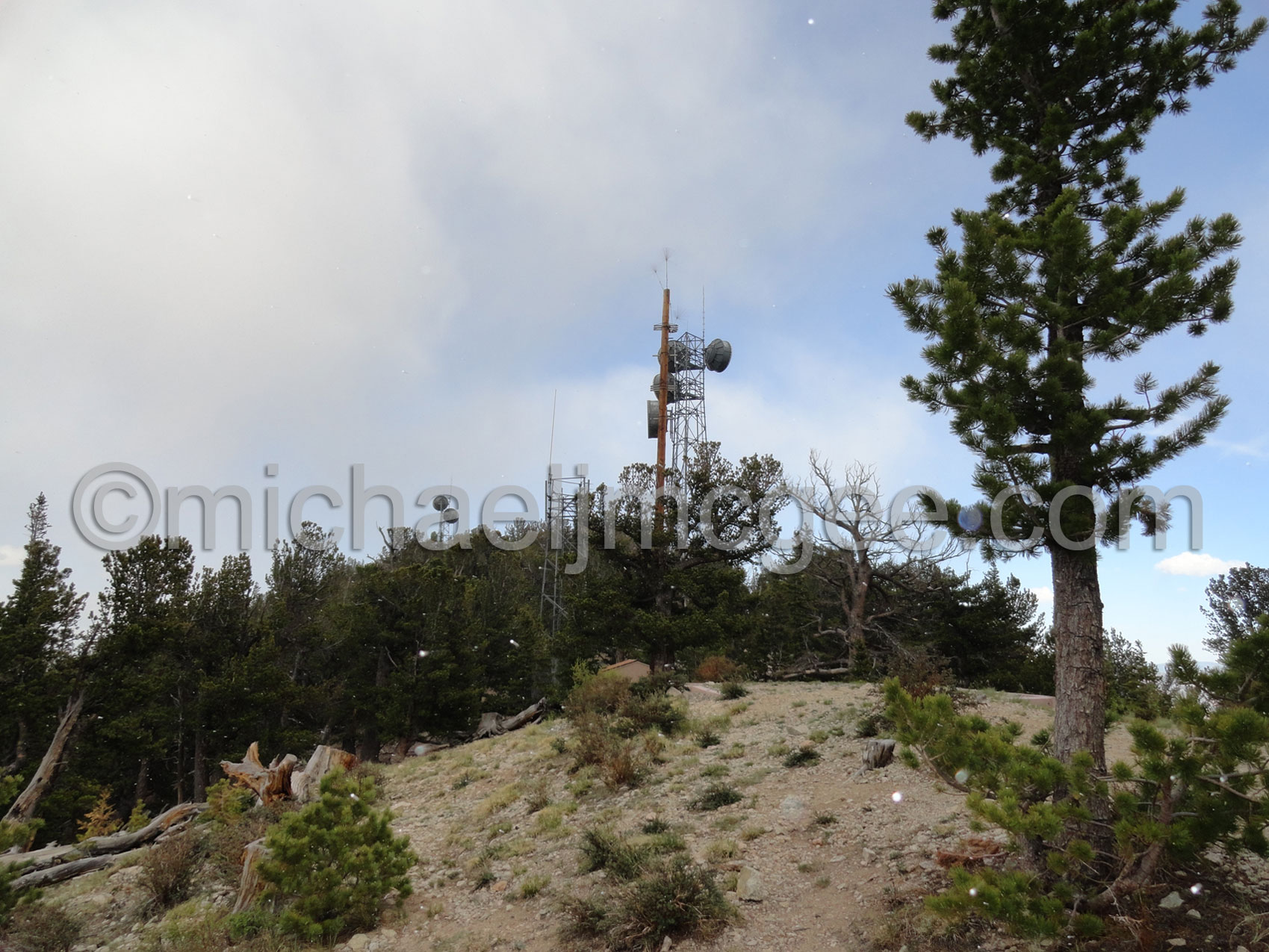
I drove up to the Antenna array from here
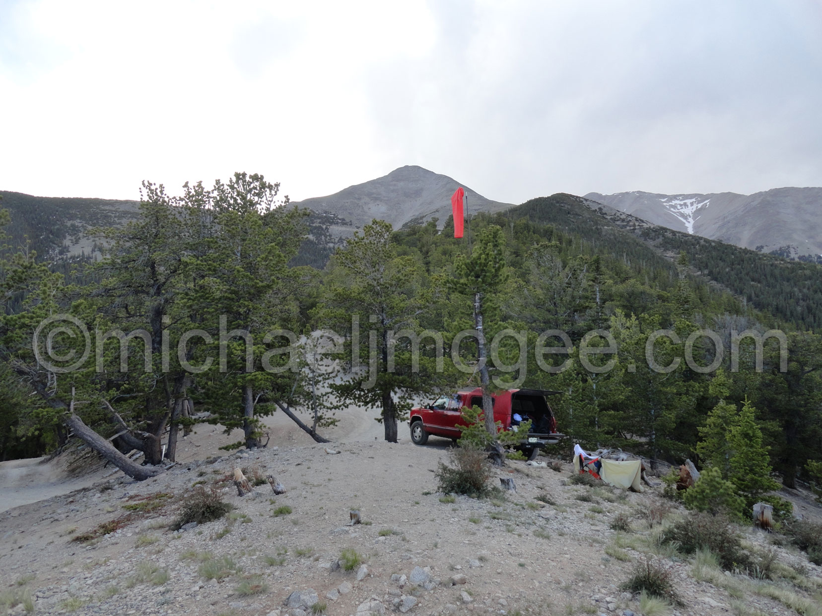
Car camping at the Antenna array 10,800'
A brief dusting at 7 pm Sunday night.
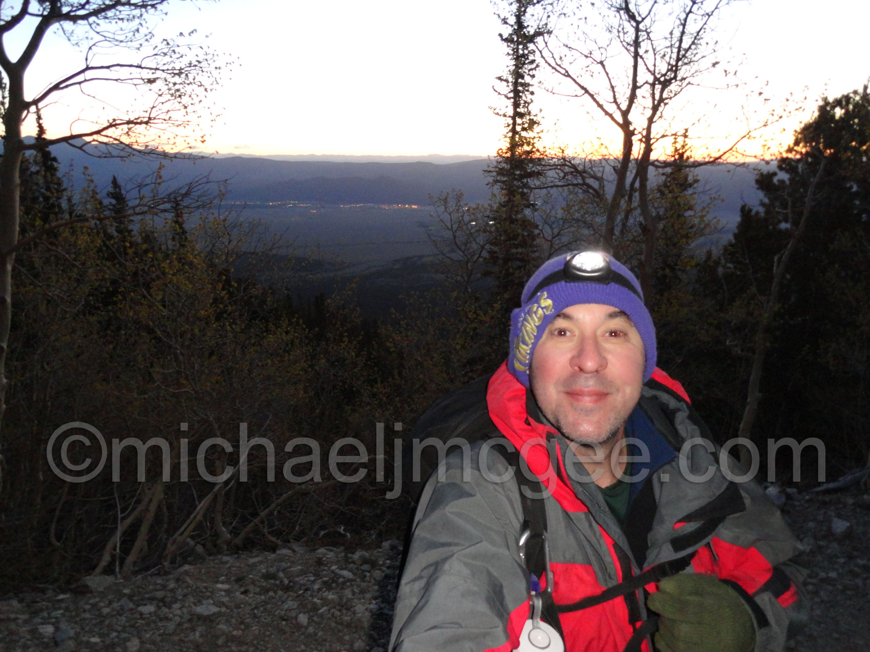
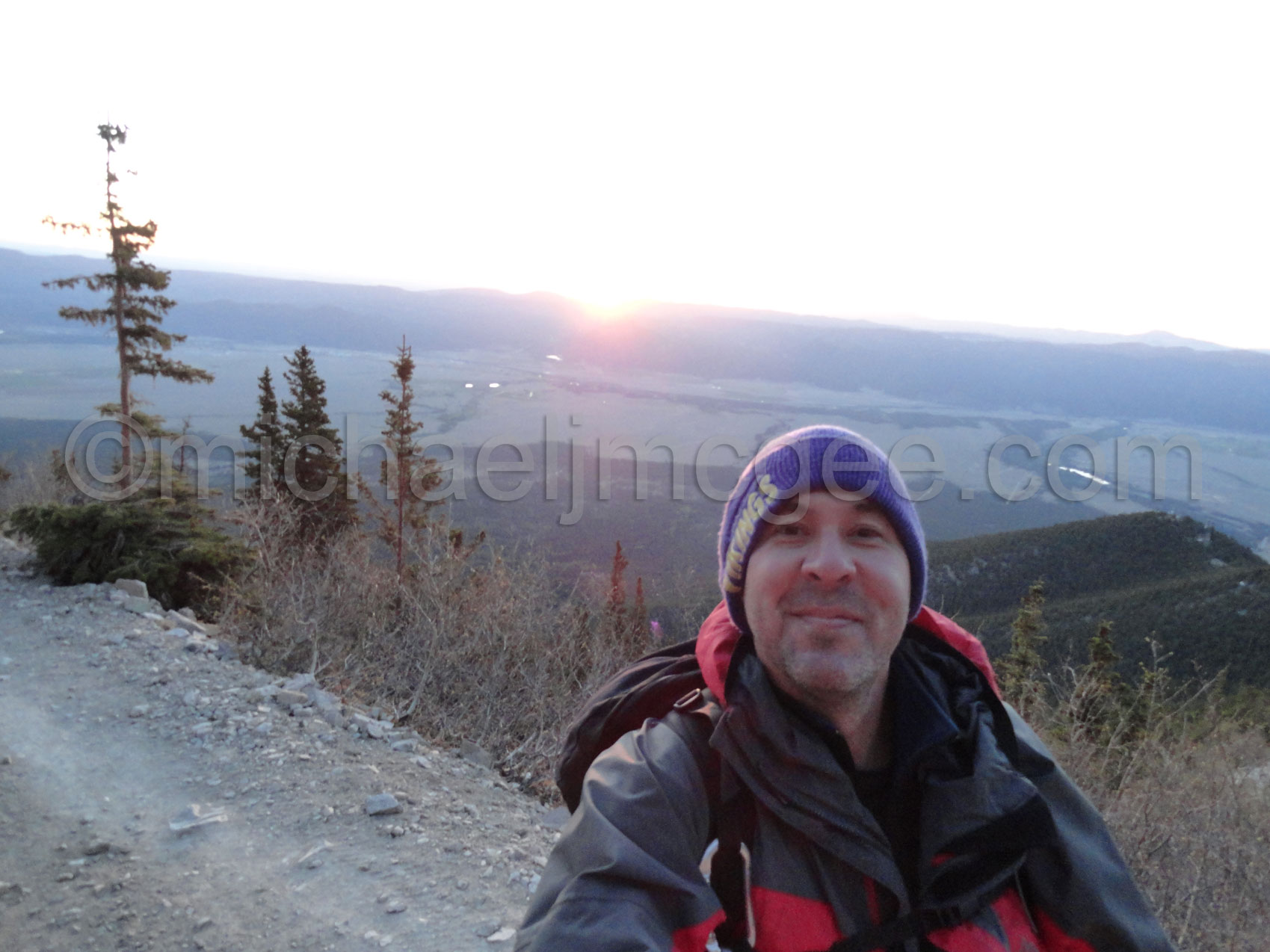
I hit the road at 5am and enjoyed a beautiful Colorado sunrise. Note: I whacked my left eye climbing at Rifle the day before.
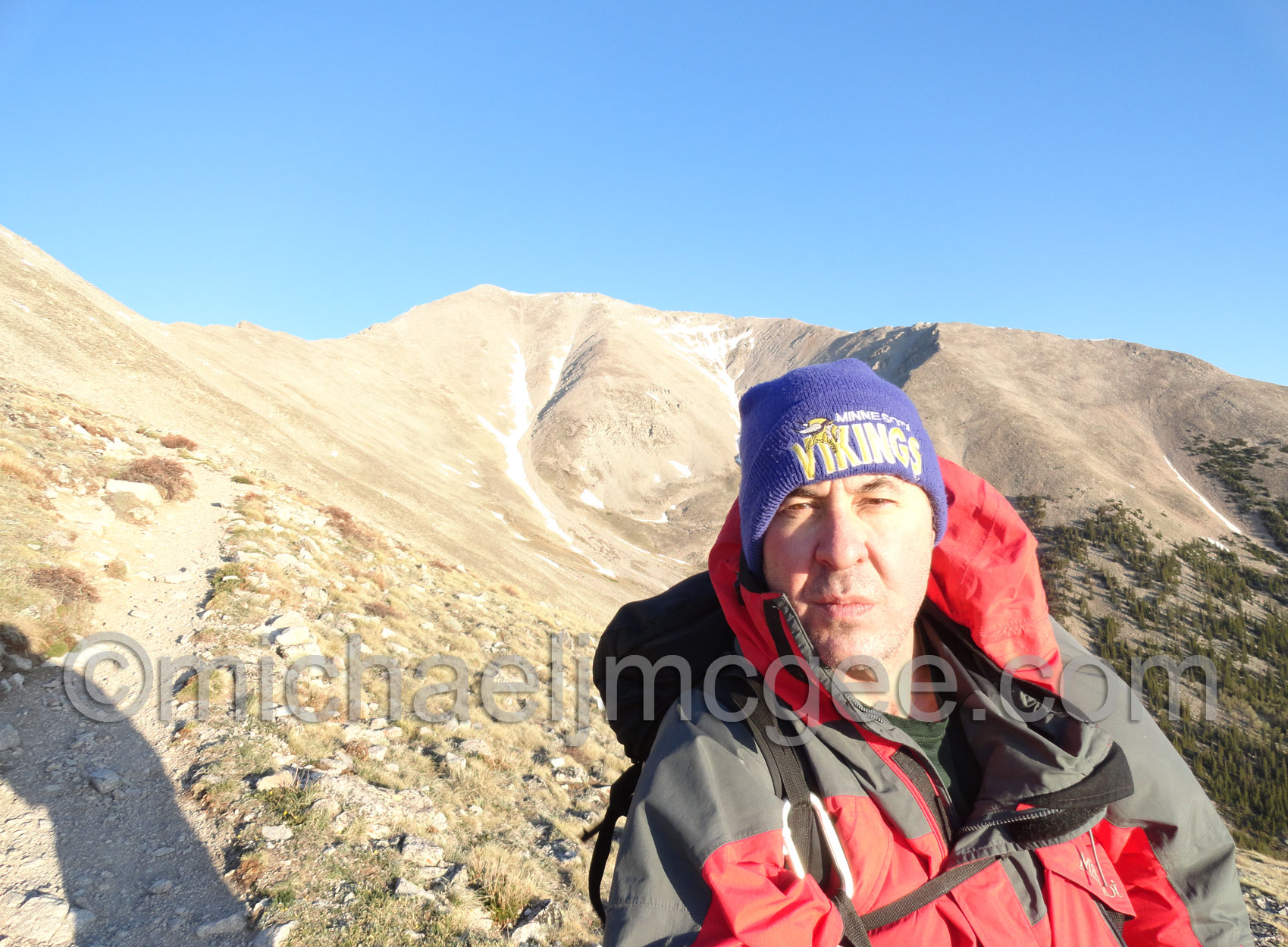
Water in my Nalgene started freeze a bit at 11,400ish
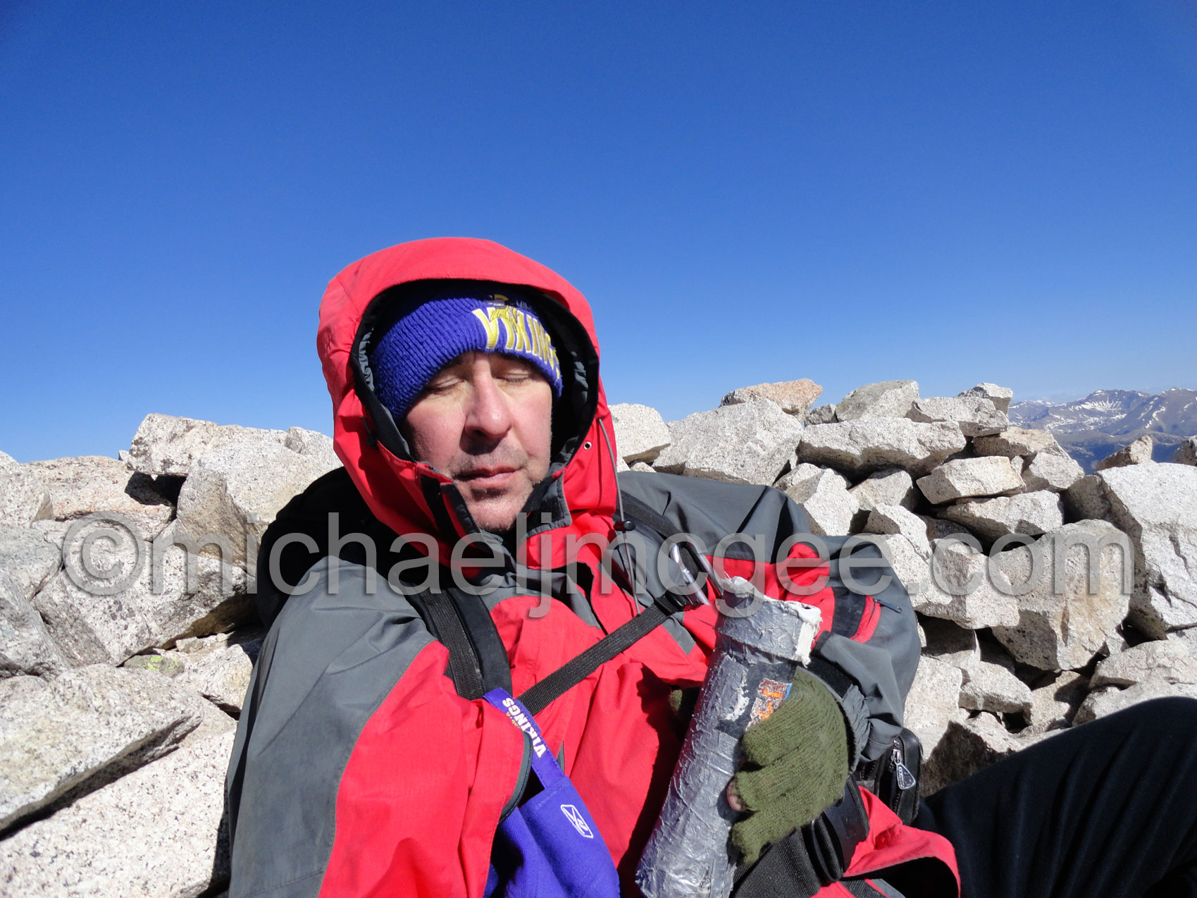
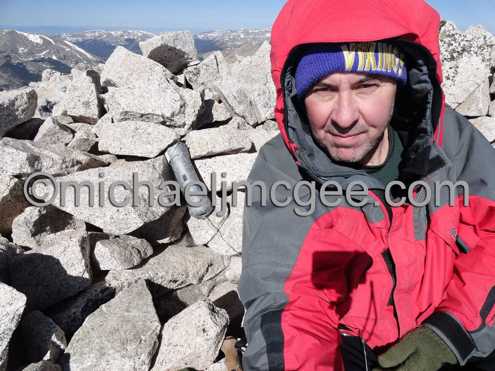
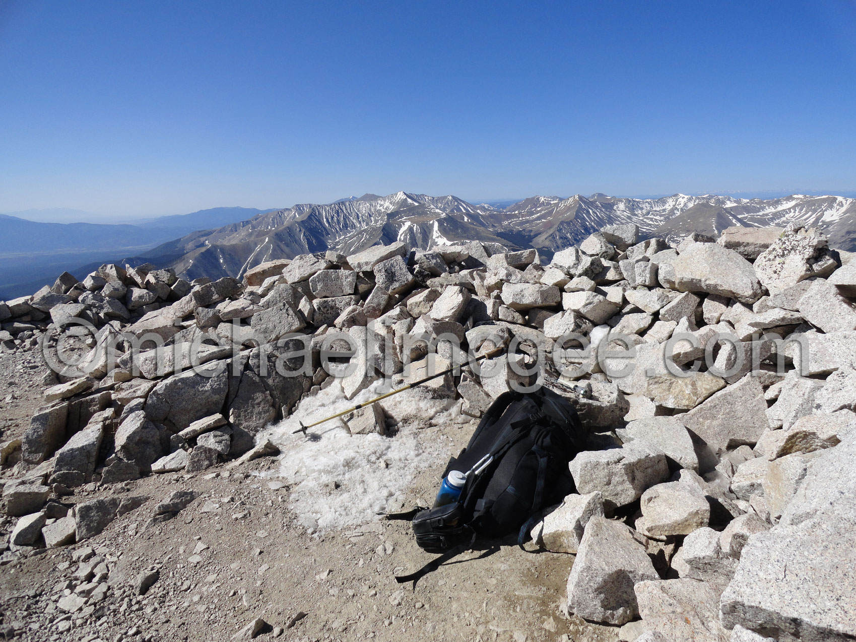
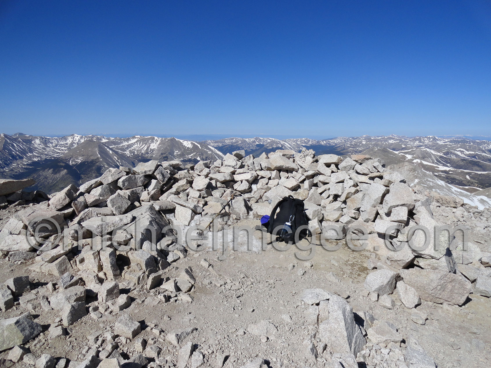
Summit Shots:
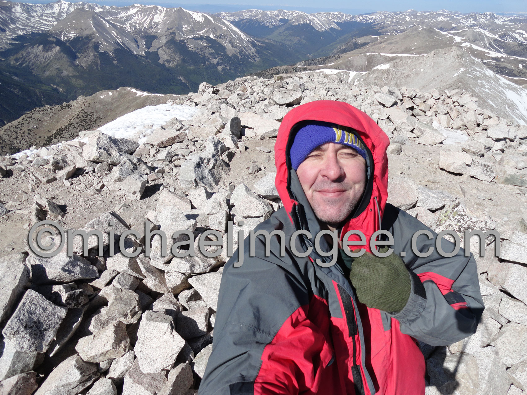
9:10 am Memorial Day 2012. Per usual the first one up!
I was going to call my Dad (a decorated Vet) in Florida like I normally do at the summit but had no reception.
MJM with my buddy the empty summit register
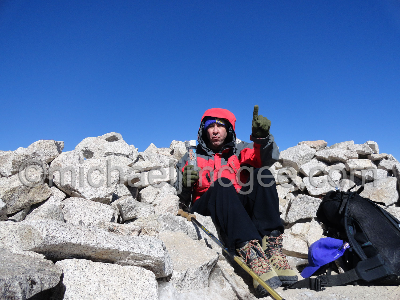
Clear sky's but below freezing temps with sustained winds! I'm tough!!
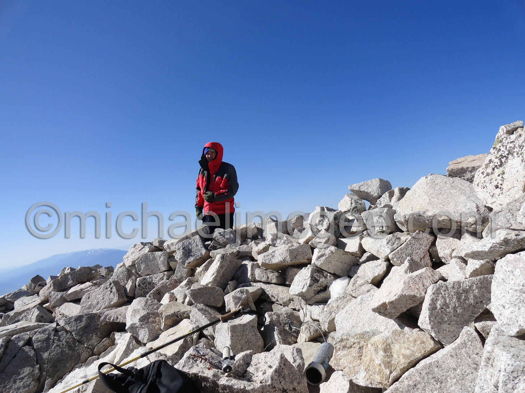
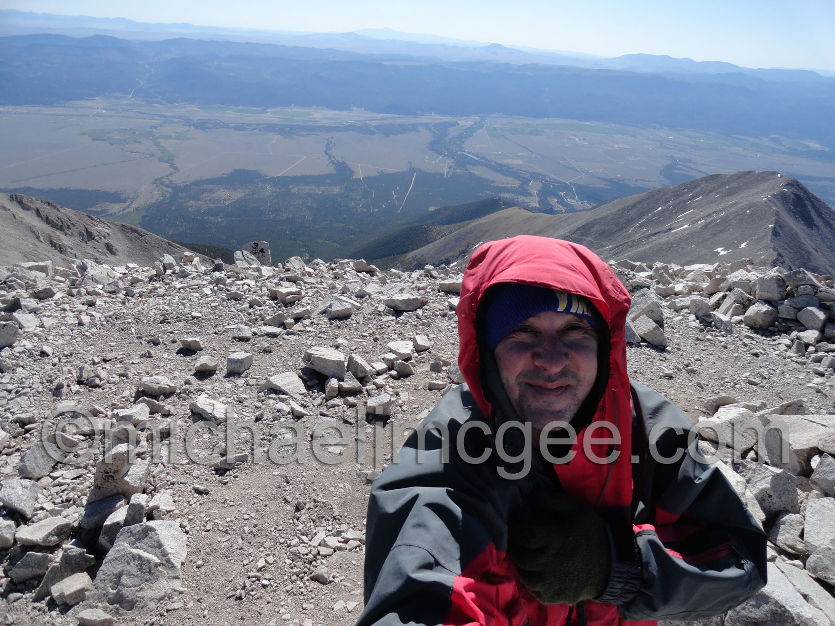
Final summit shot with Pikes Peak in the far, far background.
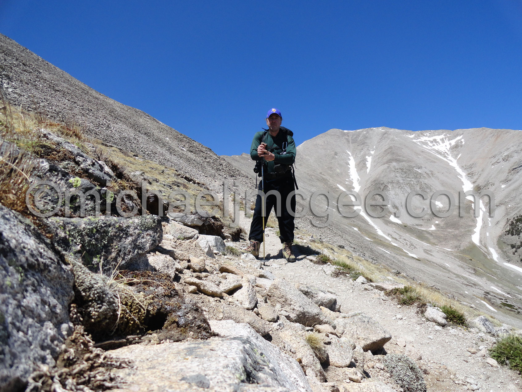
The descent. Remember once at the summit you are only half way there!
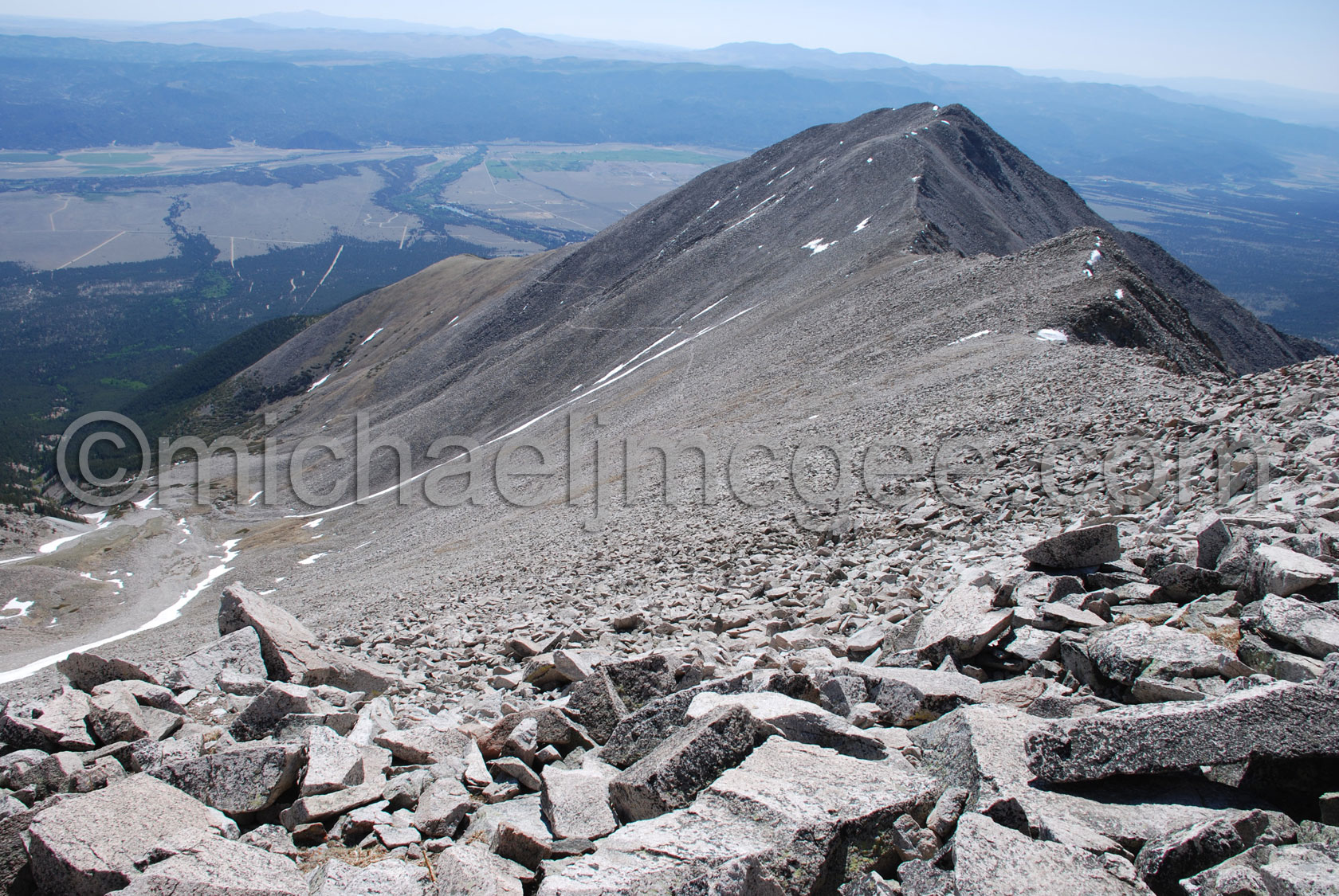
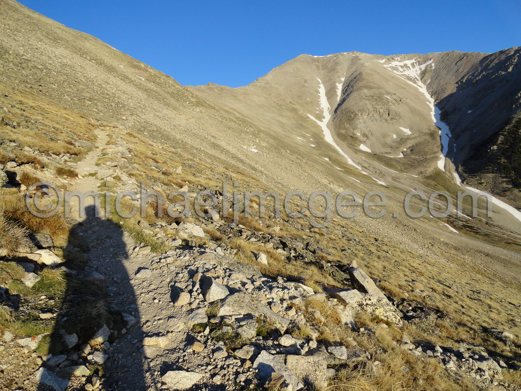
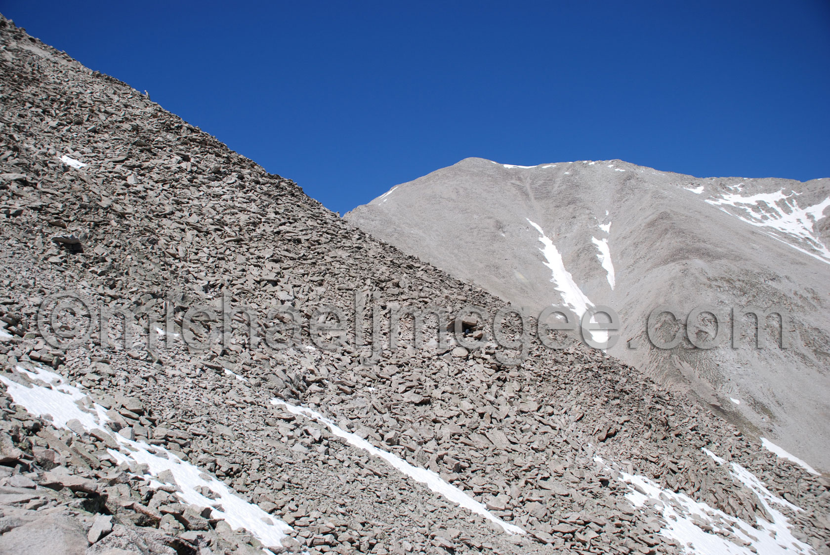
Looking down Princeton's eastern slopes
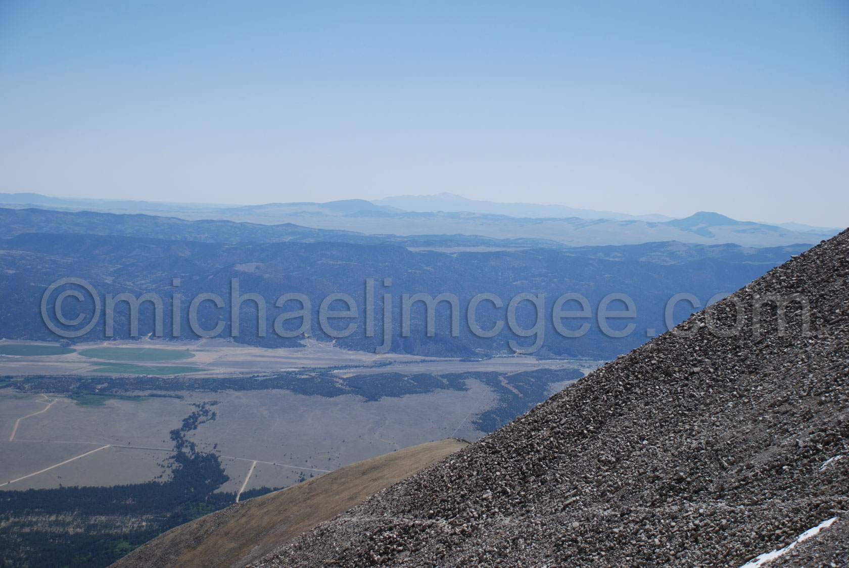
Pikes Peak from Princeton
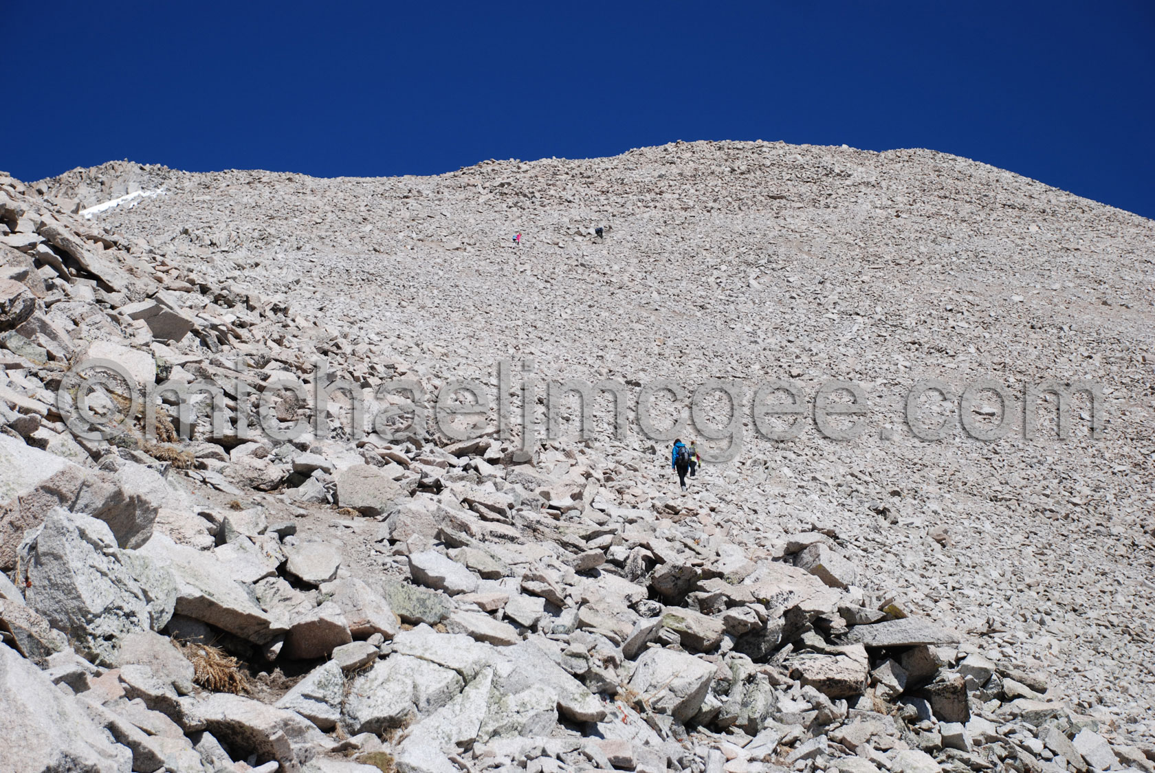
Watching the hikers going up
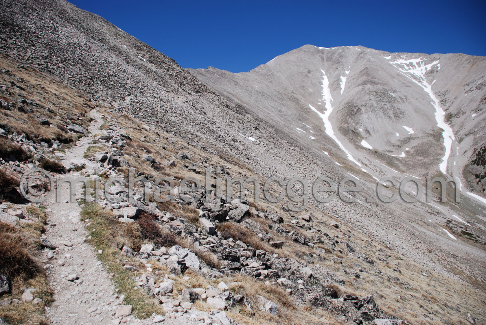
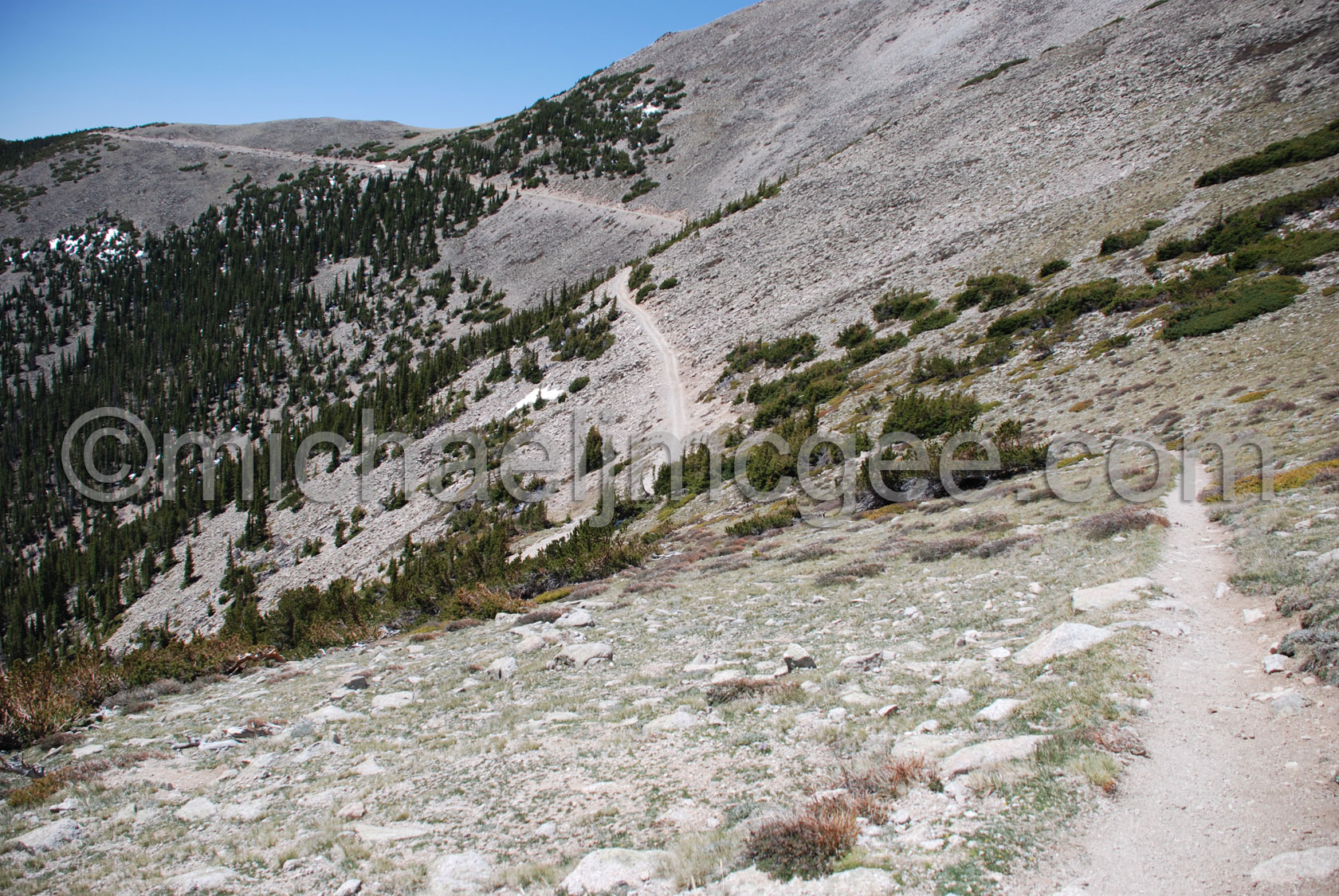
Mt Princeton trail heading back down to the Mt Princeton road
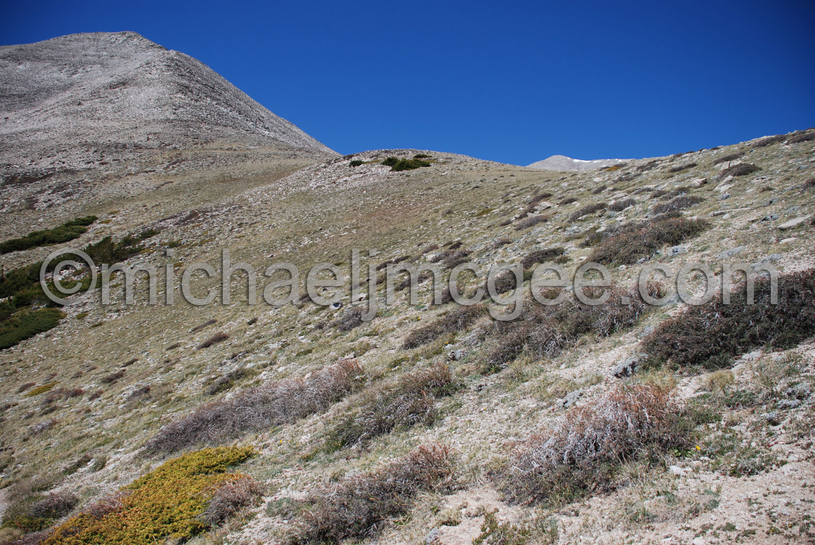
Looking back up the trail at the Princeton summit
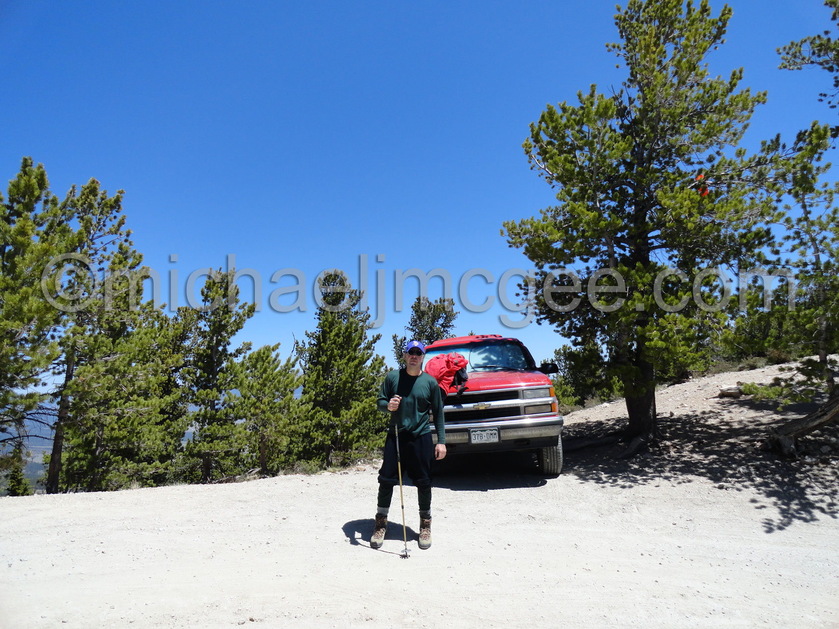
Back at the Truck
That's a wrap!